A village-by-village almanac for the north coast of Bali.
PHOTOGRAPHY & MAP SOURCES
Credit follows the image.
Source-licensed photographs, with location context, date evidence and modification notices.
The photographs can be reused under their linked source licences. Creator credit, source and the applicable conditions remain with each image. The images are not exclusive assets owned by this guide. Capture dates are distinct from upload or publication dates.
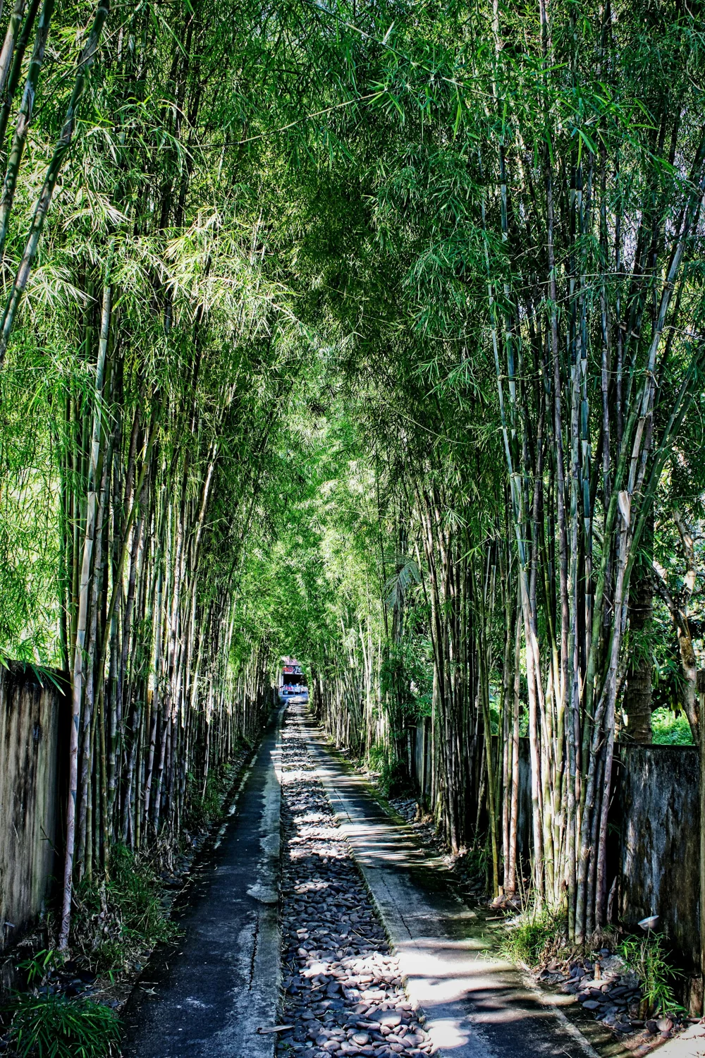
Bamboo-lined entrance at Spa Village Resort Tembok Bali, Tembok. Source ↗Photo by Steve Douglas on Unsplash · Published 23 August 2020; capture date unknown · Unsplash LicenseResized to 1000×1500 and re-encoded as WebP; no semantic edit. Display crop may vary with layout.
Unsplash License permits commercial use. No standalone photo resale or competing image library; no exclusive photo ownership or venue endorsement is offered.
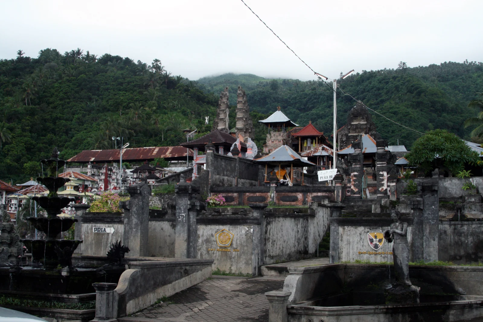
Les village and temple setting, photographed 24 March 2007. Source ↗ronnie.muhadi · Captured 2007-03-24 · CC BY-SA 3.0Resized to fit 1600×1200 and re-encoded as WebP. No crop or semantic editing. Original retained.
Commercial reuse permitted under the linked licence; retain credit and modification notice. Adapted photograph remains under CC BY-SA 3.0.
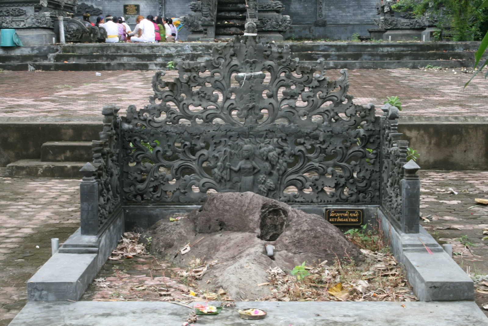
Temple detail in Les, photographed 24 March 2007. Source ↗ronnie.muhadi · Captured 2007-03-24 · CC BY-SA 3.0Resized to fit 1600×1200 and re-encoded as WebP. No crop or semantic editing. Original retained.
Commercial reuse permitted under the linked licence; retain credit and modification notice. Adapted photograph remains under CC BY-SA 3.0.
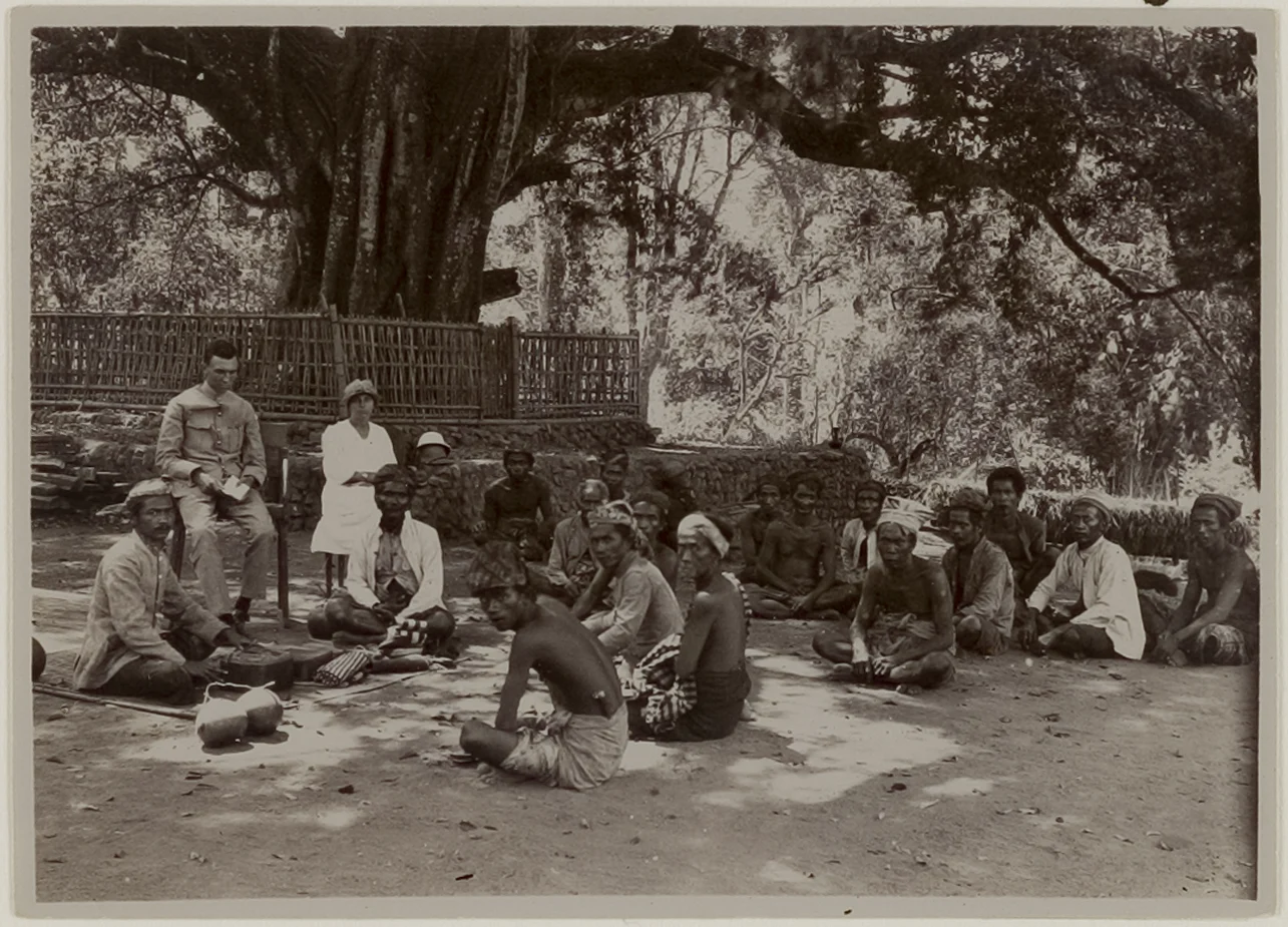
Sembiran village-square gathering during a colonial administrator’s visit; archive record published 1922, capture date unspecified. Source ↗Smit, W.; Leiden University Libraries / KITLV 30918 · Published 1922; capture date unspecified · CC BY 4.0Resized to fit 1600×1200 and re-encoded as WebP. No crop or semantic editing. Original retained.
Commercial reuse permitted under the linked licence; retain credit and modification notice.
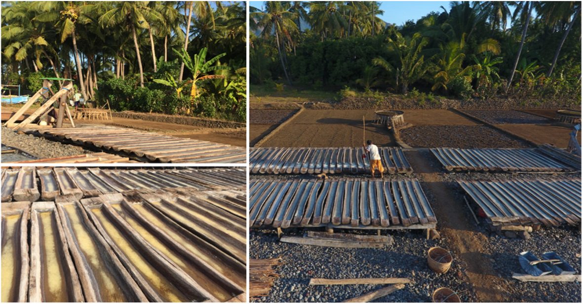
Palung salt-making in Bali — regional context, exact village not verified as Les. Source ↗Rochwulaningsih et al. (2019), Figure 1 · Published 16 October 2019; capture date unspecified · CC BY 4.0Original composite retained; browser resizing only
CC BY 4.0; keep authors, source, licence and modification notice. Exact location is not verified as Les.
Map sources
Bali province: geoBoundaries gbOpen, source OpenStreetMap / Wambacher, ODbL. District boundary and village points: OpenStreetMap. Points locate villages, not a property, route or meeting point.